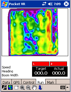
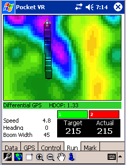
Variable Rate Mapping

Home ] Up ] News ] Products ] Services ] Partners ]


Home
Up
News
Products
Services
Partners


  • Topography, yield data, soil conductivity can all be represented as raster data.
     
  • These files can be created in a variety of packages. AGIS from Delta Data Systems, TNT MIPS, and Manifold can also create these raster data layers.


Key Benefits

  More to come on this Topic! Ran this spring with moderate success, have some work to do yet before we call it complete. Working right now to add Mid-Tech Controllers.


Information Request Form

Select the items that apply, and then let us know how to contact you.

Send product literature
Send company literature
Have a salesperson contact me

Name
Title
Company
Address
E-mail
Phone